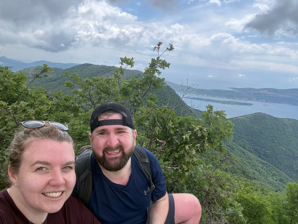
What is the Kotor viewpoint hike like?
The Kotor viewpoint hike is a 16km point-to-point walk that climbs from the Bay of Kotor up onto the Vrmac ridge and drops back down a stone serpentine into Kotor. It gains about 780 metres, from sea level to a high point of 679 metres, and most of the route follows an old Austro-Hungarian military road along the limestone crest.
We walked it on 19 May 2026, starting from the bay near the Hyatt Regency Kotor Bay at 8.20am and finishing in Muo just after 3pm. That is roughly six hours of walking with short stops. The standout is the ridge top, where both halves of the bay open up at once: the inner Bay of Kotor on one side, Tivat and the open Adriatic on the other.
This guide covers the route, the viewpoints, the tricky navigation at the start, the old fort and farm you pass, the serpentine descent, and what to bring. It was one of the highlights of our Montenegro trip, and it is a proper day out rather than a gentle stroll.

How long is the Kotor viewpoint walk?
The full route is 16km and took us close to seven hours, of which about six were spent walking. Our Garmin logged 6 hours 55 minutes of moving time, since it pauses automatically at the farm, the fort and the viewpoints. We set off at 8.20am and reached the bakery in Muo just after 3pm.
The total ascent is around 780 metres, with an equal amount of descent. It is not one long climb: the first kilometre from the bay is steep, then the route eases to a gentle traverse before a rougher pull up to the ridge. The serpentine off the top is all downhill, which sounds easier than it is on tired legs.
For a reasonably fit walker it is manageable, but the climb and the May heat made it hard work in places. Allow a full day rather than a half day, and start early to beat the worst of the sun on the exposed ridge.
Getting there and where the trail starts
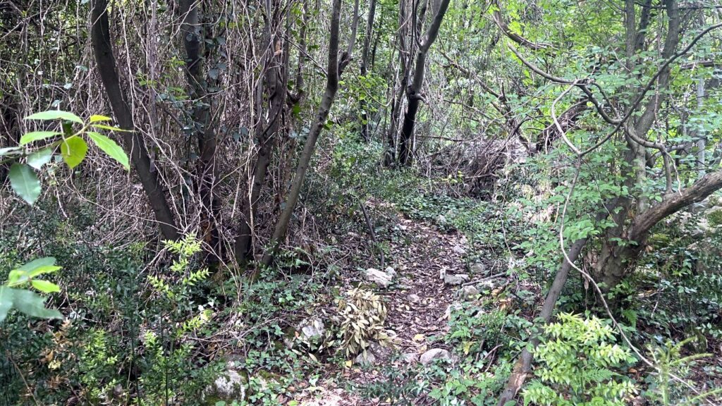
We started on foot from the bay near the Hyatt Regency Kotor Bay, on the Stoliv shore north of Kotor. The first part is the hardest to find: you walk along the bay road, then turn left up a narrow lane between houses in Donji Stoliv, onto a path that looks like it leads into someone’s back garden before climbing steeply into the woods.

The turn-off is easy to miss. We have pinned the start we used so you can find the lane and the steps between the buildings. There is no sign at the bottom, so trust the map and head up between the houses even when it feels wrong.
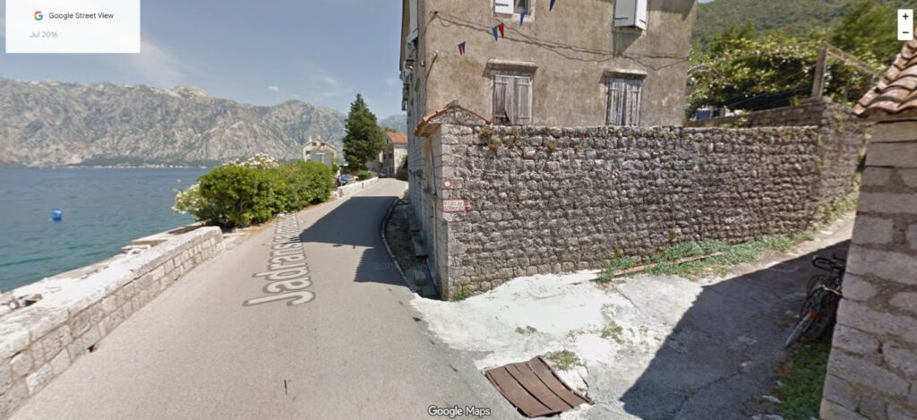
There is an easier alternative. A little further along the shore, a marked path climbs straight up towards the abandoned village, with a red and white waymark painted on a wall reading “Stoliv”. If you would rather not gamble on the hidden start, begin at this marked trailhead instead. We reached Kotor by road as part of a wider trip, covered in our driving in Montenegro guide.
The climb to the abandoned village
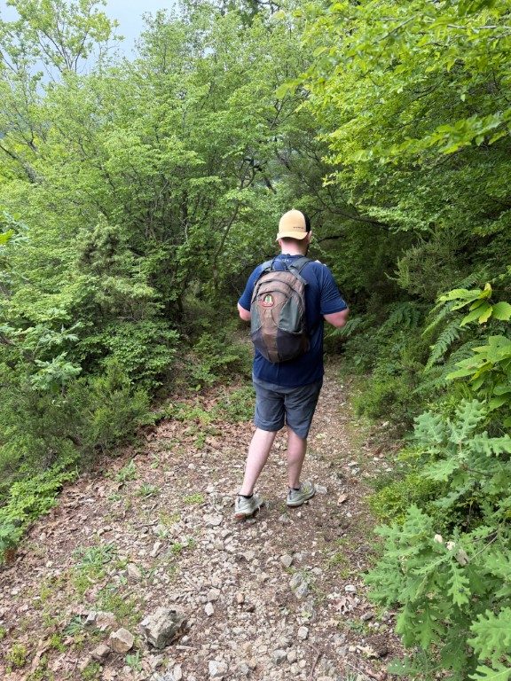
The first stretch up from the bay is steep, through overgrown woods with loose stone underfoot. After ten or fifteen minutes the path turns right and the gradient eases, running roughly parallel to the bay and rising gently. This middle section is the most pleasant part of the climb, with the water below you through the trees.
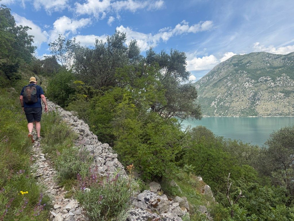
Views open up at around the 1.7km mark, where a rocky shoulder looks back over the Verige narrows, the tightest point of the bay. We passed wildflowers, thistles and stonecrop growing straight out of the limestone, with the bay laid out behind. It is a natural spot to stop and catch your breath before the next pull.
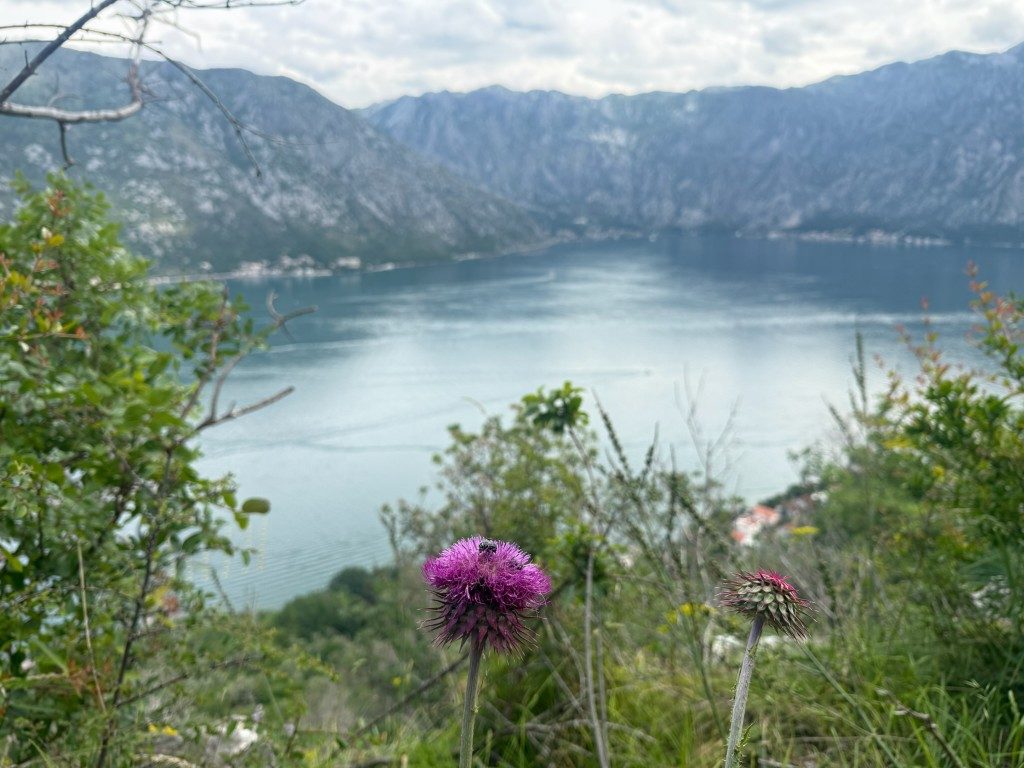
Around the 2km point the path reaches Gornji Stoliv, the old hillside village that was largely abandoned as residents moved down to the shore. The Church of St. Elijah stands above dry-stone terraces here, possibly dating to the 14th century and now under slow community restoration. Nearby are the ruins of an old clergy house and the much older St. Anne church.

This is also where navigation gets harder. After the village the path is faint and unmarked, and we worked upwards through very overgrown ground for a while. It eventually reaches a picnic bench at a pass, where it becomes a proper track and joins the main ridgeline route.

The old terraces and stone buildings of the hamlet are worth a slow look before you push on. Once past them, keep heading uphill even where the path fades, and you will pick up the clearer track at the pass.

Along the Vrmac ridgeline
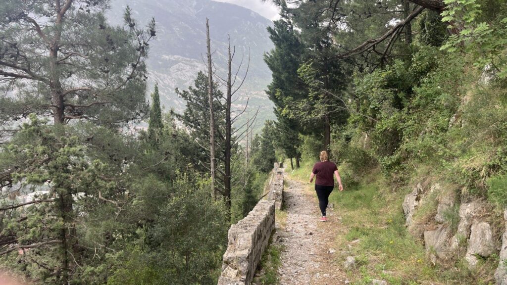
From the pass the route follows an old Austro-Hungarian military road along the Vrmac crest, the long limestone ridge that divides the inner and outer parts of the Bay of Kotor. The surface is stony and uneven in places, but the path is wide and clear, a relief after the scramble below. This is the easiest walking of the day, with steady gentle climbs.
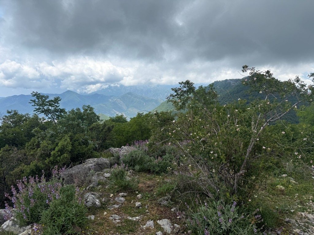
The ridge is where the walk earns its reputation. Views open on both sides: the inner bay and Mount Lovcen to the east, and Tivat, the airport and the Adriatic to the west. We passed the ivy-covered ruins of old lookout posts and store rooms from the same military era, and a broadcasting tower marks the high ground near the top.
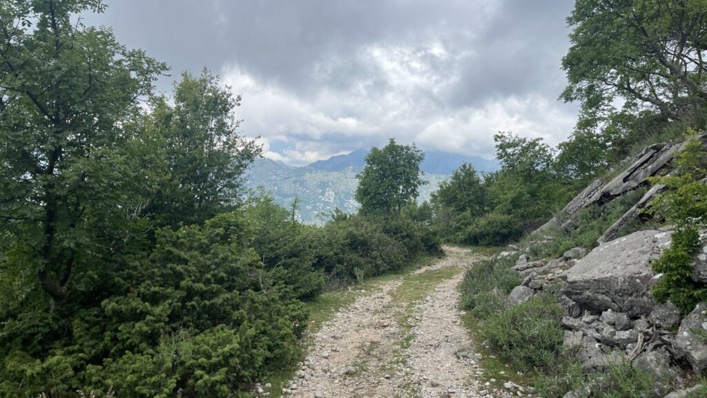
The highest point of the ridge sits below Sveti Ilija, the peak that crowns the crest at 765 metres. Our own high point on the route was 679 metres. Standing here with both bays in view at once was the single best moment of the walk, and the reason to do it.
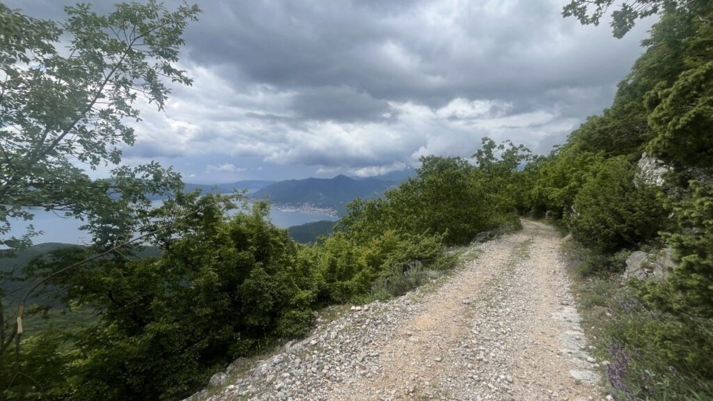
From here the views shift as you walk, the inner bay opening and closing between the trees and rocky shoulders. Kotor itself comes into view far below, a cluster of terracotta roofs at the head of the bay.
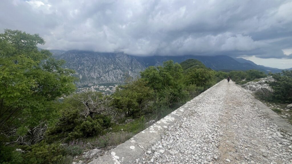
The light over the water changes through the day, and even under cloud the scale of the bay is the thing that stays with you. This stretch of ridge is where we lingered longest.

Fort Vrmac and the old war ruins
At around 12.5km the route reaches Fort Vrmac, the largest of the ruins on the ridge. The present structure was built by the Austro-Hungarians between 1894 and 1897, replacing an earlier 1860 fort. It was heavily bombarded by Montenegrin forces in the First World War, then repaired, disarmed and eventually abandoned.

We walked around the outside, along the long stone walls with their gun-port windows. The fort has two walkable levels and a network of dark underground passages, but they are pitch black inside, so anyone wanting to explore them should bring a head torch. There are bats in the interior and no facilities of any kind up here.
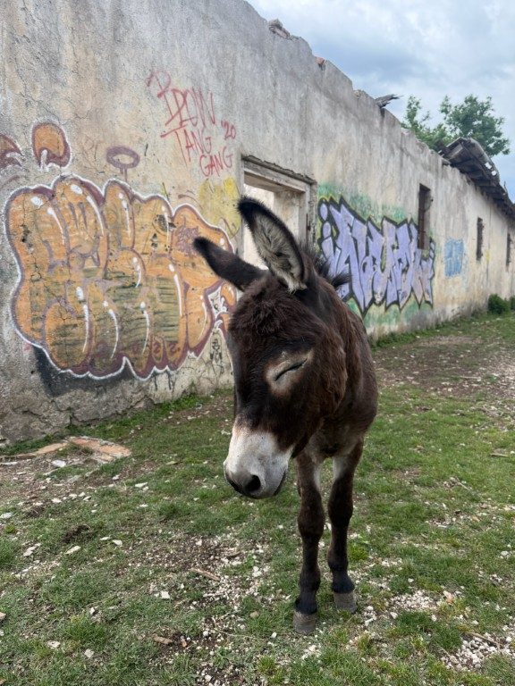
Right beside the fort is Goran’s Farm, a working hillside farm with free-roaming animals. There was no owner around when we passed, just donkeys, pigs and a cat wandering between the old buildings and the graffiti-covered walls. The farm sells local goat cheese, milk and eggs and keeps a donation box, though you may simply find the animals and an empty yard, as we did.
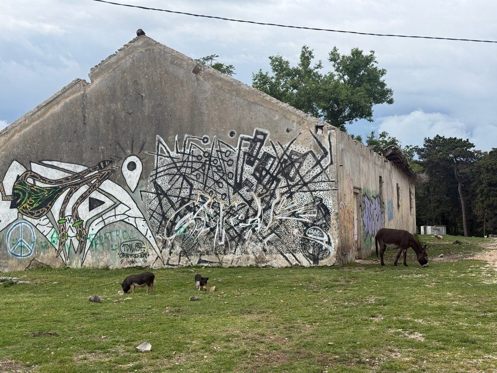
The donkeys came straight over to say hello, clearly used to walkers passing through. They roam loose across the grass between the ruined buildings, with the fort walls rising behind.
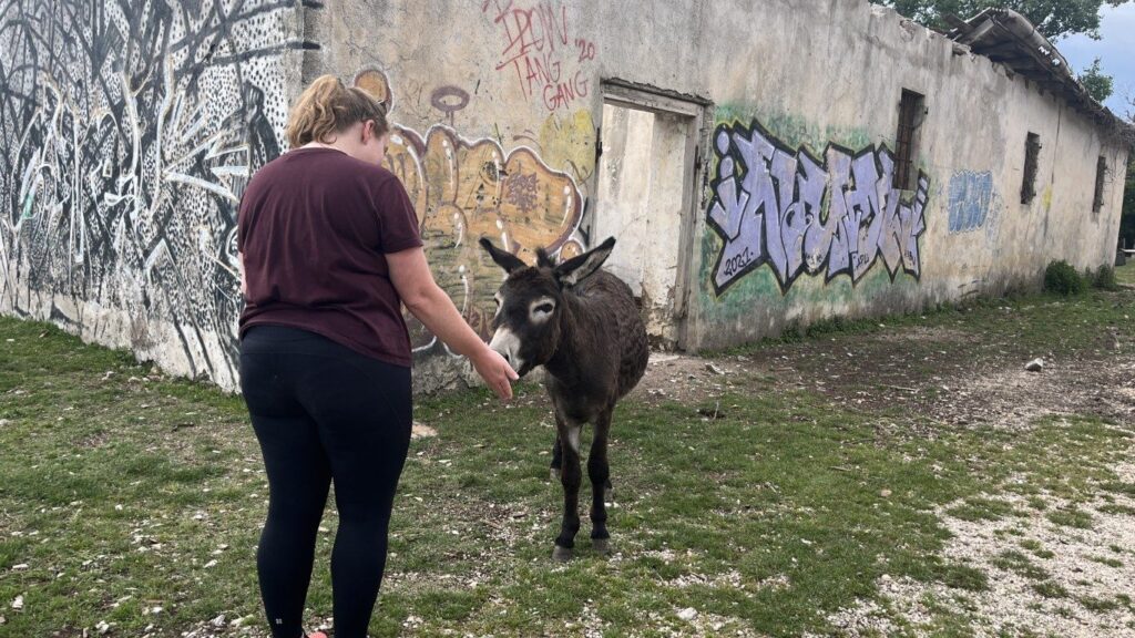
The animals are used to walkers and barely look up as you pass. It is an odd and memorable spot, a 19th-century military fort sitting next to a small farm with pigs rooting around the ramparts.
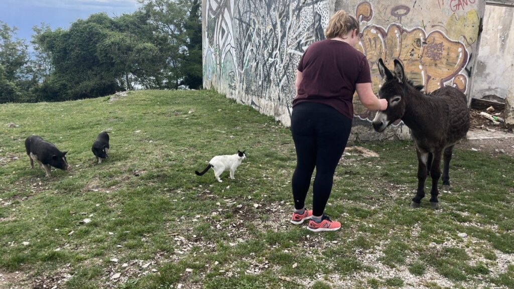
A donkey, a cat and a couple of pigs shared the yard while we were there, all completely at ease. It is the kind of unexpected scene that makes this route stick in the memory.
The serpentine descent into Kotor
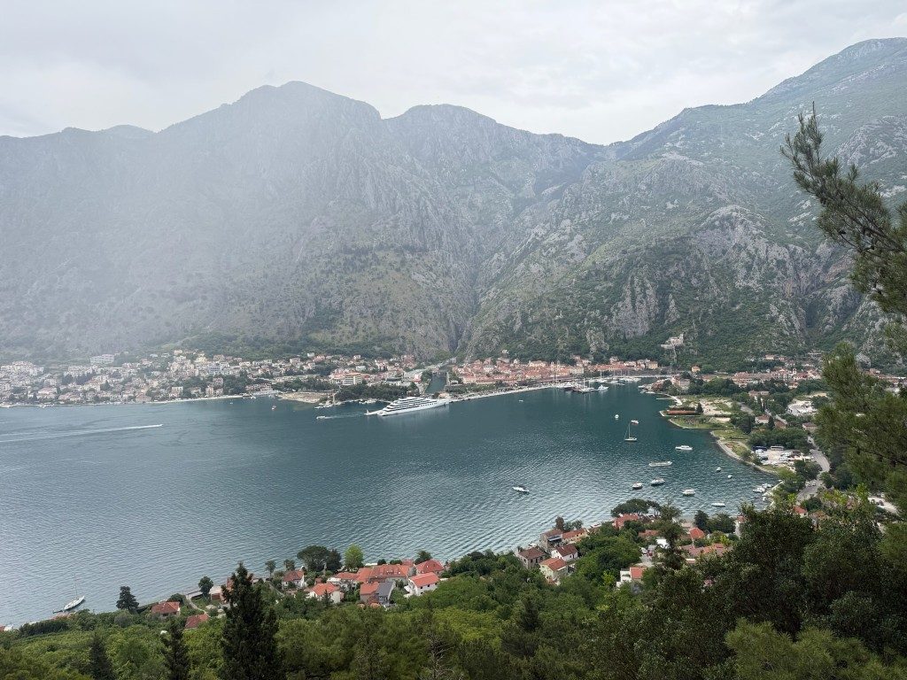
From the fort the route drops down the Kotor serpentine, sometimes called the Franz Joseph Stairs, a zig-zag of roughly 1,350 stone steps built in the Austro-Hungarian era. It winds down through pine forest from the ridge all the way to Muo on the waterfront. The views straight down onto Kotor old town and the bay are the best of the descent.
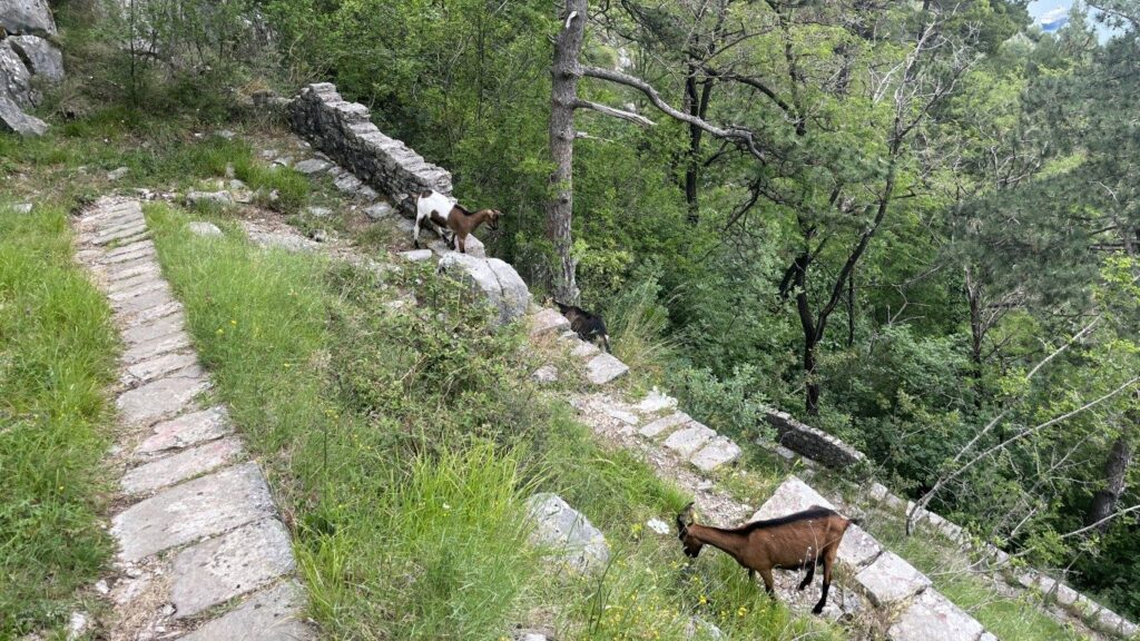
It is scenic, but it is long and hard on tired legs. After six hours of walking the constant downhill on uneven stone steps takes its toll on the knees, and there is little flat ground to recover on. Trail shoes coped fine with the loose stone, so heavy boots are not essential, but a walking pole would help on the descent.
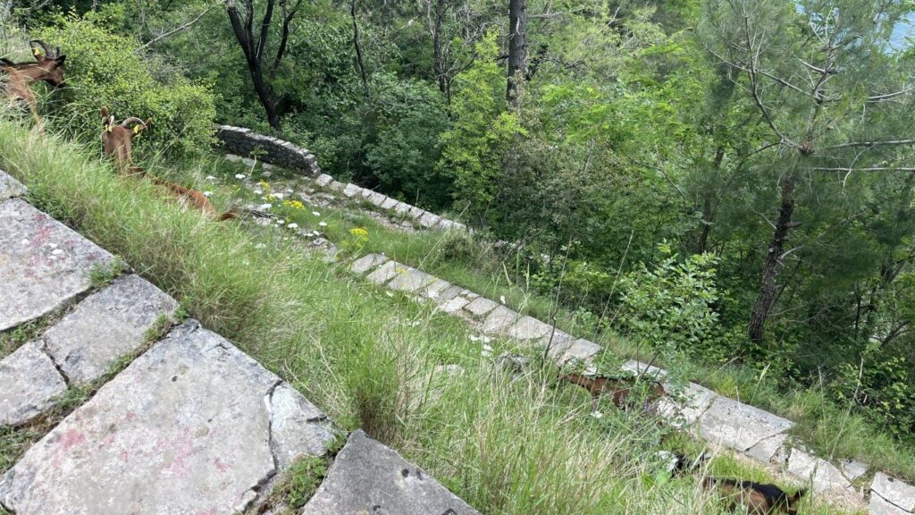
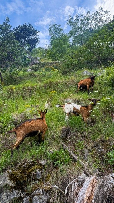
We shared the path with goats grazing the steep slopes, which barely moved as we squeezed past. The serpentine is well built and easy to follow, a contrast to the unmarked climb at the start. As you drop, the rooftops of Kotor and the boats in the bay get steadily closer.
Lower down, the haze lifted enough to pick out Kotor old town at the head of the bay, the walls climbing the hillside behind it. Each switchback brings a slightly different angle on the water below.
Finishing in Muo
The serpentine brings you out at the Vrmac trailhead in Muo, the seaside settlement just northwest of Kotor old town. We finished at the bakery right at the bottom and had a slice of pizza by the water, which is exactly what you want after 16km and 780 metres of descent.
From Muo it is a 15 to 25 minute walk around the bay into Kotor old town if you want to carry on. There are cafes and shops along the waterfront for a cold drink. After a long, hot day on the ridge, sitting by the bay with food in hand was a fitting end.
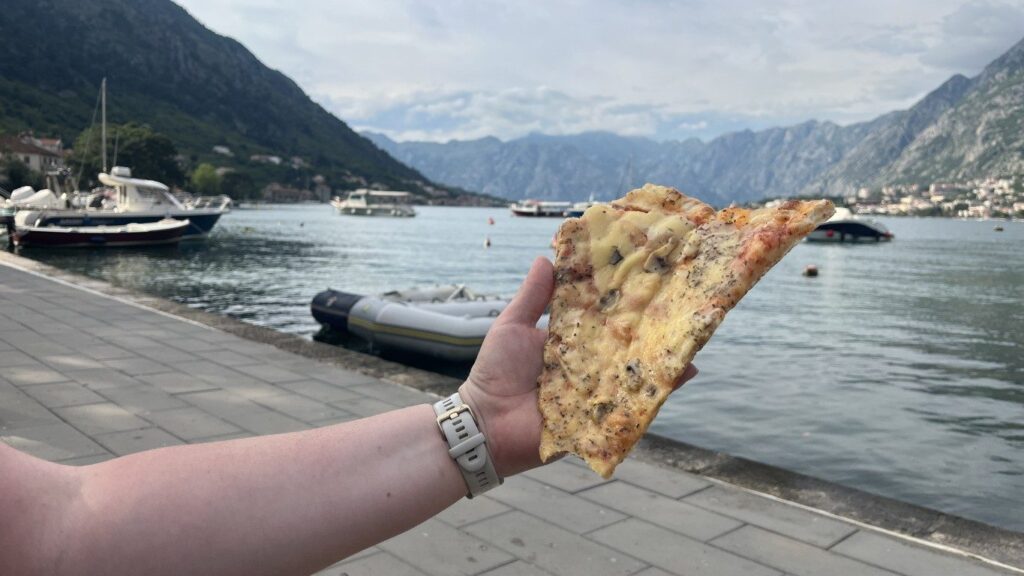
The bakery at the bottom in Muo is handy for picking up a drink or a snack before the walk back into town. It is a low-key end to a big day, right at the water’s edge. Our recommended word for learning while in Montenegro is ‘Pekara’, meaning Bakery!

What to bring and when to go
Water is the most important thing to get right. There are no facilities and nowhere to refill anywhere on the ridge, and we underestimated how much we would need in the May heat and ran low. Carry at least two litres each, and more on a hot day.
We walked in mid-May and the route was quiet, with the few other hikers we saw clustered near the fort. Spring and autumn are the best seasons, since the exposed ridge bakes in summer. An early start helps you beat both the heat and the midday sun on the open crest.
Pack the following for the day:
- At least two litres of water each
- Sturdy trail shoes with good grip
- Sun hat, sunscreen and a wind layer for the ridge
- A head torch if you want to explore inside the fort
- A charged phone with the route downloaded offline
Is the Kotor ridge hike worth it?
Yes. For a reasonably fit walker this was one of the highlights of our Montenegro trip, with the ridge-top view of both bays the clear payoff. The mix of an old fort, a working farm, an abandoned village and a historic stone serpentine gives it more interest than a straight climb-and-descent.
The main thing to know is that the start is genuinely hard to find and the climb above the village is faint and overgrown, so use the map and consider the marked alternative start. Carry plenty of water, and save some energy for the descent, which is long and tough on the legs.
Pros
- Both bays in view from the ridge top
- Fort, farm, abandoned village and serpentine on one route
- Quiet, with few other walkers away from the fort
Cons
- Unmarked, hard-to-find start and overgrown climb
- No water or facilities anywhere on the route
- Long, knee-testing descent at the end
How hard is the Kotor ridge hike?
It is a challenging but manageable day for a reasonably fit walker. The route is 16km with about 780 metres of ascent and took us close to six hours of walking. The steep start, the heat and the long descent are the hardest parts rather than any technical difficulty.
Where does the Kotor ridge walk start?
We started on the bay near the Hyatt Regency Kotor Bay, turning up a hidden lane between houses in Donji Stoliv. The start is unmarked and easy to miss. A marked alternative path climbs from further along the shore towards the abandoned village of Gornji Stoliv.
Is there water on the route?
No. There are no shops, taps or facilities anywhere on the ridge, including at Fort Vrmac. Carry at least two litres each, and more in summer. We ran low in the May heat, so do not underestimate how much you will need on the exposed crest.
Can you go inside Fort Vrmac?
Yes, but bring a head torch. The Austro-Hungarian fort has two walkable levels and dark underground passages with bats inside. We looked around the outside walls and gun-port windows only. There are no facilities, lights or barriers, so take care if you explore the interior.
What is the descent into Kotor like?
The route drops down the Kotor serpentine, also called the Franz Joseph Stairs, roughly 1,350 stone steps zig-zagging through pine forest to Muo. The views over Kotor are excellent, but it is long and hard on tired legs after a full day of walking.